Continued from the blog post Carpacker 2015 – East Coast – #4 Kuantan City and “Independent Soul” Restaurant. For pre-travel, please refer here.
After having our meals in Tanjung Lumpur, we wanted to find the next interesting places which is the Cherating Turtle Sanctuary and Information Center. Our wish is to see the baby turtles because we have never seen them. In an urban area, I prefer to use the Waze app. So, I type in the place’s name which is “Cherating Turtle Information Center and Sanctuary”. It then appeared in the search result.
With much confidence, I then followed the direction that Waze showed on the map. Entering Kuantan City, then we entered a small town and later entered the backyard of a housing area. And then… Cherating Turtle Information Center and Sanctuary are located behind a housing area. Why located behind these areas? Oh my, we have been cheated by the Waze app! I really thought that was the right location. Actually, I already noticed earlier, because the place that Waze took us is really far from the seaside.
My mood changed suddenly. At the back, Tatie was grinning at me. I’m not the type that is GPS-illiterate but this is the first time I got a misdirection from the Waze app. I’ve been using a GPS app a million times. But while writing this blog, I then checked the location again. Ok, it has been changed to the exact location. Lucky for you as a blog reader…
If you wish to visit that place, do not come on Monday as it is closed to the public. Might be helpful to refer to this blog for further information. We continued our journey to Masjid Jamek Lama Beserah (Old Jamia Mosque of Beserah). Said to be an old mosque, so I just fulfilled my wish to visit, do some praying and relax for a while. After all, it is the same old road that connects Kuantan, Kemaman, and Dungun and up all the way to Kuala Terengganu.
Here is a map of our journey. We took 20 minutes and the distance from Tanjung Lumpur was approximately 11.5km. During heavy traffic, might take up to 40 minutes longer to reach the destination.
The weather is scorching hot and no sign of rain. Added by the wind from the South China Sea which also carries a hot humidity. Aqif seems to be awake all the time and enjoying the views. So, we had to deal with his unpredictable fussiness from time to time.
During our journey, we asked for directions from a pedestrian as our directions got more confusing. There were two mosques. At first, I thought the mosque was the one that we just bypass earlier that is located on the main road, but it’s not. We had to enter a lane through a village until we reach a mosque where a car porch was located opposite it and also a river.
This mosque is quite unique. From the outside, it looked closed as the windows and doors are all locked.
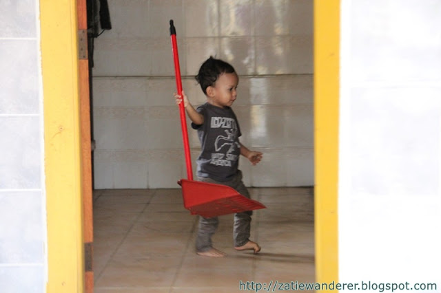
Before proceeding with any activities in the mosque, we perform our prayer first and this is what Aqif was doing. He’s sweeping the floor all over the place. Once we completed our mission here, we then continue our journey to Cherating. This is really a non-stop journey, a real ‘carpacking’.
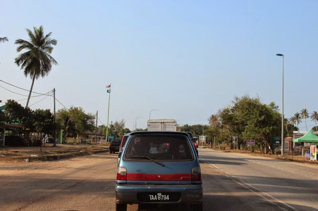
Next, we continued our journey to Cherating through the state road along the coast. Actually, that’s the wish I’ve been keeping for a long time. That is my determination if I can return to Terengganu since I have not visited here for 20 years, I will go through the road along the coast full of sea views even though there is a faster highway available. Felt excited to show the sea views to Tatie and Aqif.
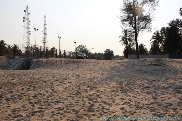
Suddenly, I came across a junction leading to an interesting route and it headed towards Cherating Beach. Unfortunately, I forgot to record the GPS coordinates for my safekeeping so that I can come back here in the future and also for the reference of the readers of this blog. Latest update 20 June 2017: Ok I managed to find it… the GPS coordinates are “4.097723, 103.385187“. It’s interesting that the path leads directly to the beach. Vehicles can be brought in up to the end of the beach.
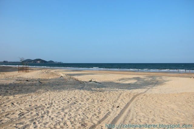
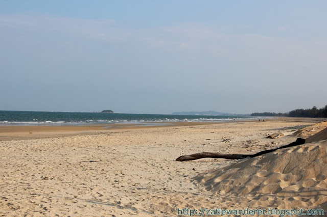
We also rested on the beach to enjoy the view of the evening which was still bright with the rays of the sun. The location of this area is close to the city of Chukai. It’s comfortable and wide-angle views because it faces the South China Sea. Unlike on the west coast of the peninsula, the Strait of Malacca has limited seawater and is quite muddy. However, both have their advantages and disadvantages. It can be said that 90% of the beaches on the east side of the peninsula starting from Johor to Kelantan are not recommended for swimming because the sea current is very strong and many cases of death occur due to drowning. While on the west coast, almost the entire beach is suitable for swimming, you just need to be good at choosing the best location.
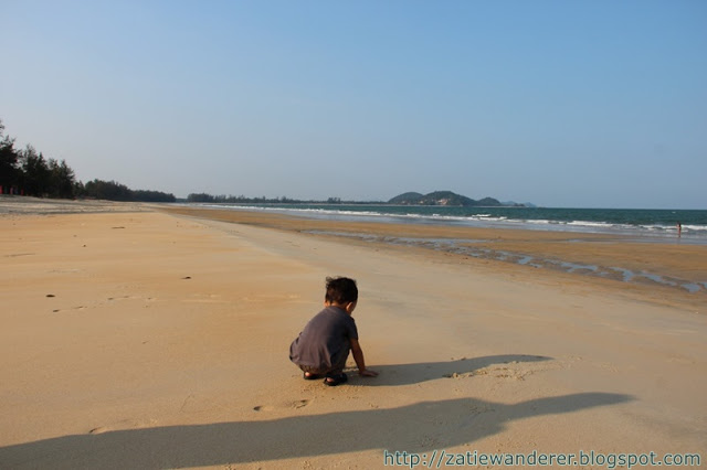

This is how children are when they can play with sand. The people around him also no longer exist in his eyes… 😀
Let’s enjoy the pictures around the Cherating beach……
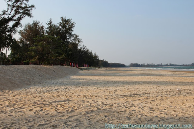
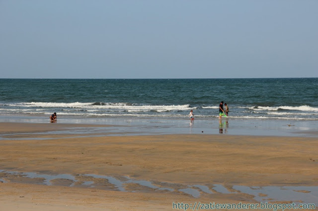
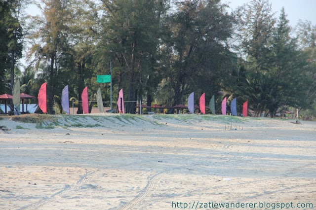
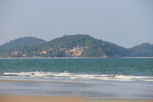
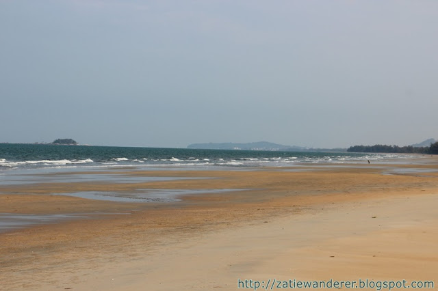
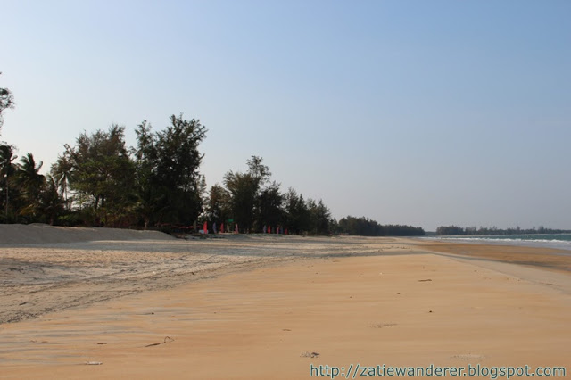
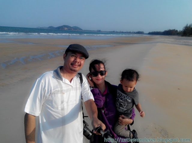
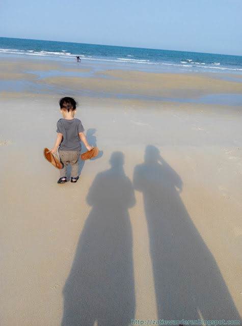
The atmosphere at Cherating Beach was the best for us. The beach is very clean. Although it was almost 6 pm and the weather was hot, due to the strong wind, it was not felt at all. It seems that the spot where we hang out does not have many resorts, but if you walk along the beach towards the north, there are indeed many resorts. There are not many people here. My wish to bring my family here has been fulfilled. I’ve been wanting to see the beach on the east coast of the peninsula for a long time. Before this, we often went to the west coast of the peninsula only because it was the same route to visit my in-laws’ house in Johor. I just felt wanted to spread the mat and sleep here overnight but canceled due to being unprepared. How much does it cost from Jerantut to Kuantan (according to current prices, excluding food/drinks)?
- Petrol: Starting from this blog entry, I will no longer calculate the cost of petrol because I forgot to record the mileage.
- Kuantan to Beserah: No toll.
Ok, time’s up! We are here for only 40 minutes because the journey is still far. Continued to the next entry…… Carpacker 2015 – East Coast – #6 Continuing Our Journey to Kuala Terengganu and Batu Burok Beach Resort.

Leave a Reply